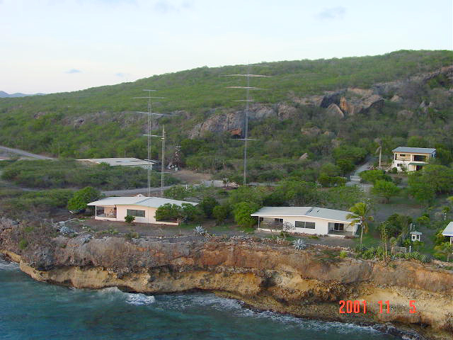
 (Photo by PJ2BR from the Bell Jet Ranger Helicopter, 5 November, 2001)
Aerial Views
Signal Point, Curacao
PJ2T
Caribbean Contesting Consortium (CCC) Web Site
Looking roughly towards Northern Europe. Central USA/Japan is
to the left, along the coast. The leftmost house on the cliff is the
Signal Point station.
Left tower is USA/JA Tower, short tower is WARC-only tower, and
tallest tower is Europe Tower.
The horizontal portion of the 160 Meter inv-L is supported between the WARC tower and the 100-foot Europe tower. The effective vertical component is ~90 feet.(Photo by PJ2BR from the Bell Jet Ranger Helicopter, 5 November, 2001)
Another view, roughly towards southern Africa.(Photo by PJ2BR from the Bell Jet Ranger Helicopter, 5 November, 2001)
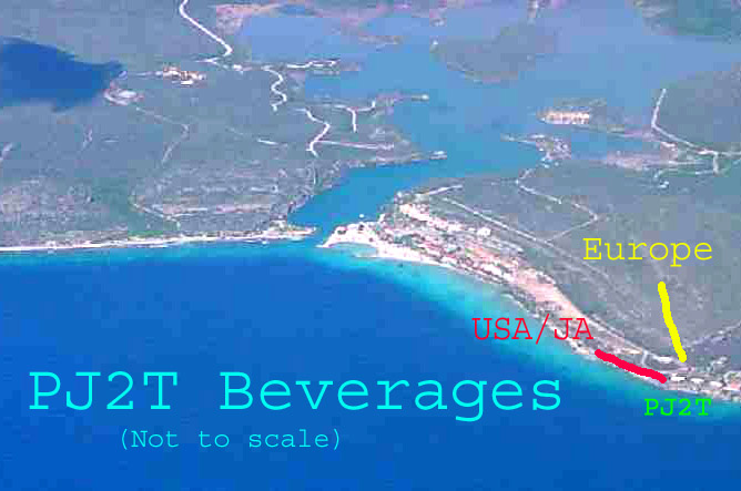
The PJ2T Beverage receiving antennas are pointed
at the USA/JA (650-feet)
and Europe (1000-feet). The plots below show the approximate locations.

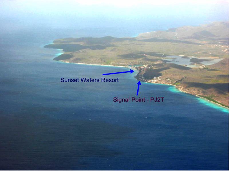
Photo taken by W0CG from airliner window 11
February 2003, looking
approximately North.

Another view, roughly West. The Signal Point station is the
rightmost white spot in the top center cluster!
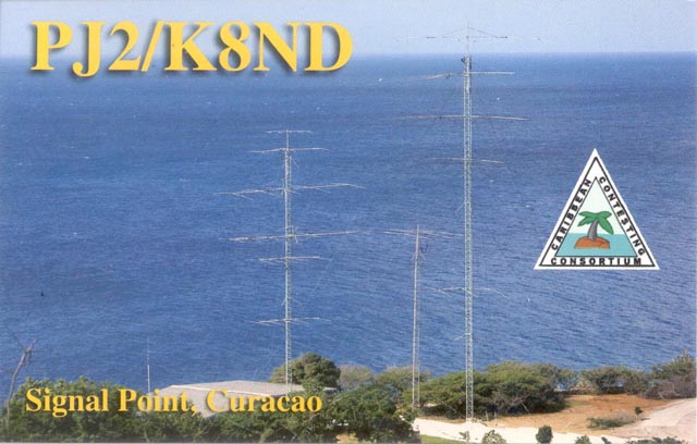
This QSL view, taken from part-way up the cliff, is looking roughly in
the direction of  Hawaii across Northern Central America (285 degrees).

Webmaster
Last Update:
03/13/05